Block Maps
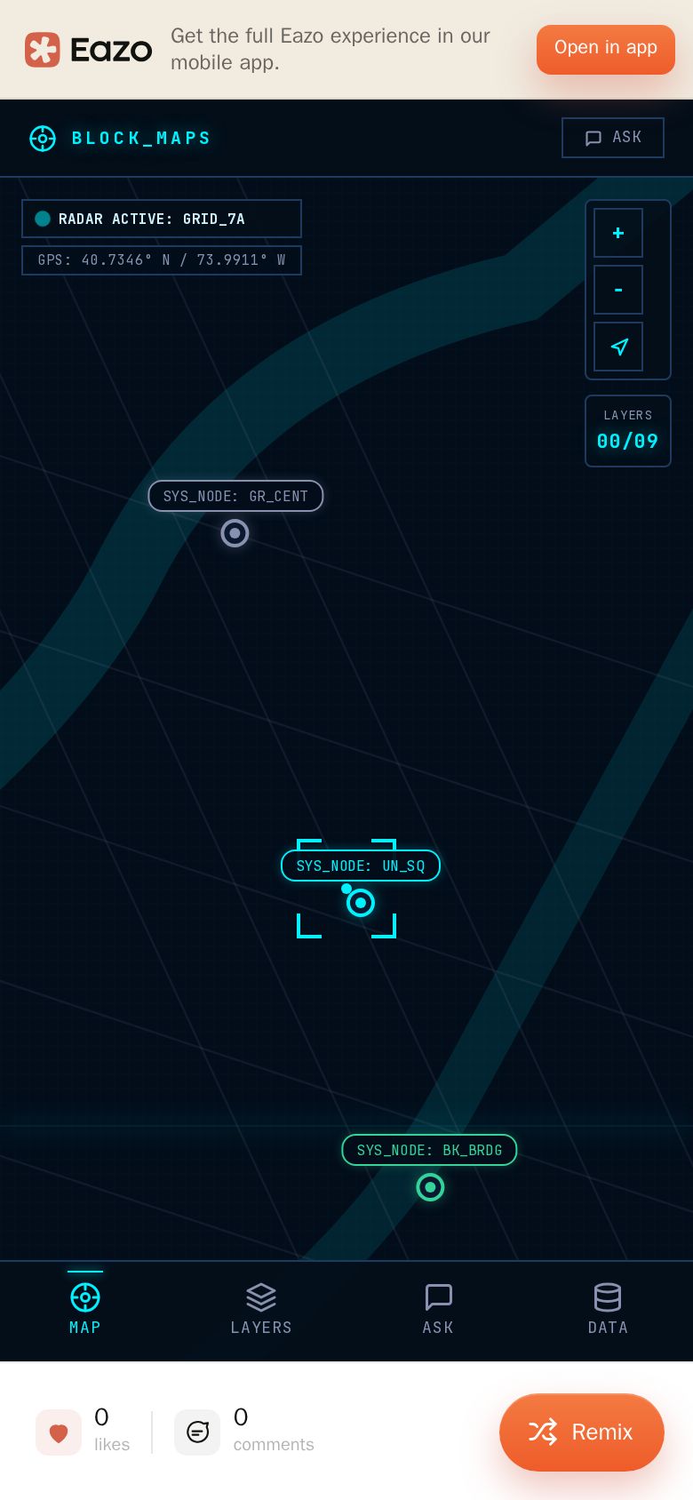
Block Maps is a unified NYC geospatial data hub that consolidates hundreds of scattered city datasets into one interactive map. Browse 9 themed layer categories — Transit, Nature, Buildings, Safety, Health, Education, Environment, Commerce, and Civic Boundaries. Toggles live MTA subway, bus, and ferry positions that update in real time. Taps any point to reveal a clean info card with key property data and source attribution. Asks the built-in AI assistant location-aware questions like "show me Indian food near Union Square" or "what flood zone am I in?" and watches it drive the map for you. Browses the full layer catalog with descriptions, data sources, and live-update indicators.
Created by buddhsent19