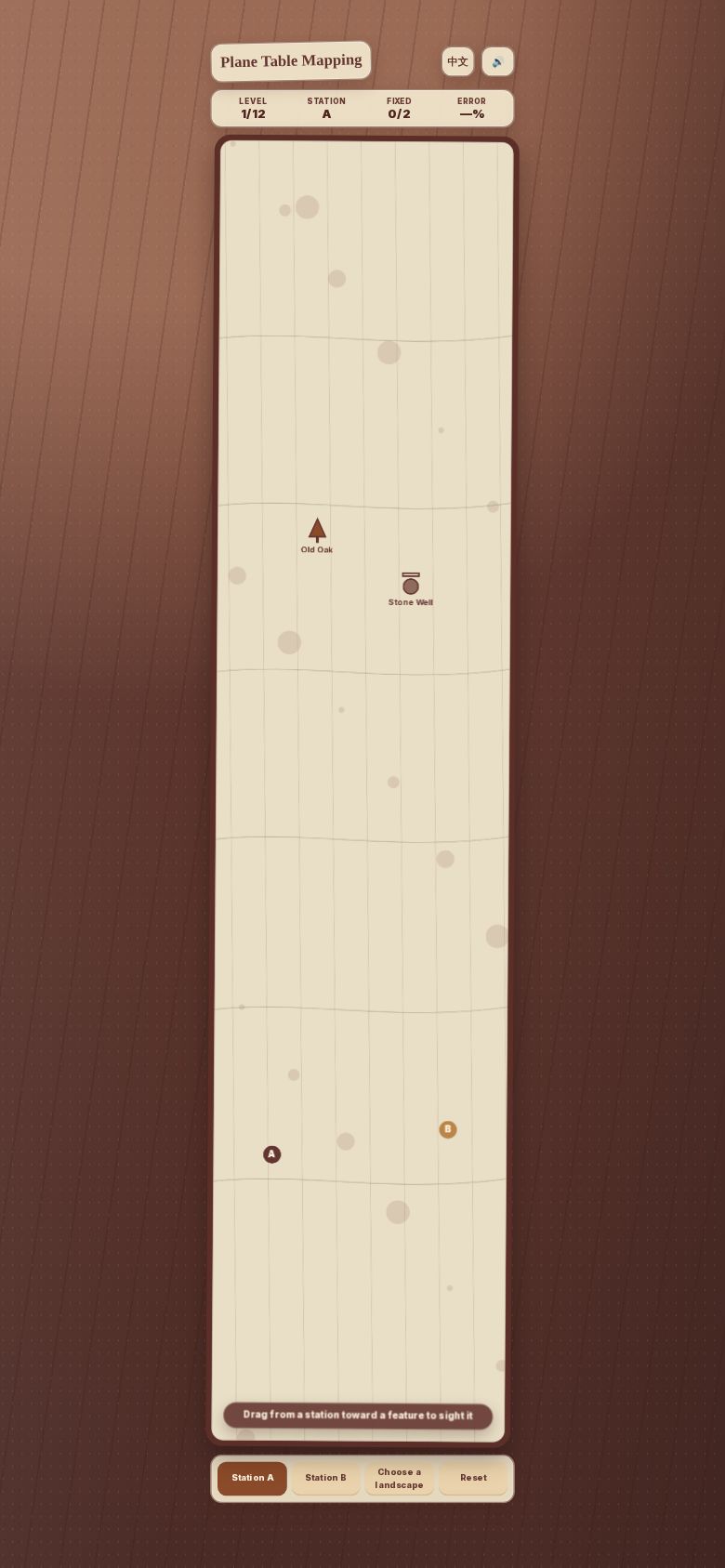
Plane Table Mapping
Draw sight rays from two known survey stations toward landscape features; where the rays cross fixes each feature on your plotted map. Twelve landscapes ramp from simple two-station fixes to occluded features and three-point resection, ending in a shareable result comparing your map to the truth.
Created by haojie.huang